On the Trig
 This tour presents the origin and early years of the Trigonometrical Survey of England and Wales, later known as the Ordnance Survey.
Born out of military expediency, the Survey's famous one-inch-to-the-mile maps became an enduring expression of national identity.
Between two fires
For much of its history, England found itself sandwiched between hostile powers to the north and south - a situation illustrated by this map, drawn around 1490 by the German cartographer and book illuminator, Henricus Martellus, who worked in Florence.
Across the Channel
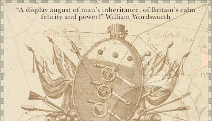
In 1534, King Henry VIII steered a political course that put him further at odds with England's neighbours across the Channel.
Troubled borders
In the north, the defence of England's Scottish border was a constant concern for Elizabeth I. This map of Northumbria comes from an atlas of English and Welsh counties belonging to the queen's chief minister, William Cecil, Lord Burghley.
The Board of Ordnance
From the end of the middle ages until the mid-19th century, the key organisation in the defence of England's borders was the Board of Ordnance. The term 'ordnance' covered all military and naval supplies, from weapons and ammunition to wagons and tents.
Rebellion
In the years following the flight of the deposed Stuart king, James II to France, Catholic support for the Stuart claim to the English throne remained strong in Scotland.
The bottom line
The first stage in meeting the French challenge was to lay out a baseline from which a network of triangles could be extended through Greenwich and on to the Kent coast, from where it would be linked across the Channel to the triangulation of northern France.