Surveys
Before the motorway construction starts, the entire construction area is surveyed. It involves a combination of three non-destructive archaeological techniques:
- Geophysical survey
- Aerial photography
- Surface collection
| All three techniques help create a picture of prehistoric or medieval settlements in the area. They do not provide a complete answer, however. To obtain more objective results, a long-term systematic survey examination of the landscape would be necessary. Based on results of the above-mentioned monitoring, advance excavations are planned. | 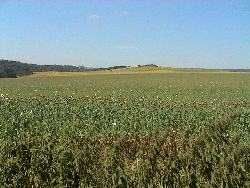 |
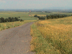 | The field walking has brought only limited information on the possibility of new, yet uncovered sites. Due to this unfavourable situation and a limited value of finds found during surface collection, it is difficult to date and locate these finds more exactly. |
| In most of the âpositiveâ sites, objects of chipped industry or pieces of prehistoric pottery were sporadically found. The archaeological inventory mostly resulted in recording of Modern Age pottery and erratic silicides. Modern Age pottery was often mingled with medieval pottery, which is a proof of modern anthropogenic activities concentrated nearby urban areas. Erratic silicides represent remains of quaternary glaciation. Unfortunately, they themselves do not prove the presence of prehistoric people in the area, though they could have been used as potential sources for prehistoric industries. | |